 |
The Headwaters of Bryant Creek | |
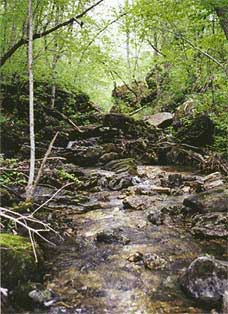 | 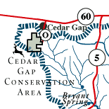 The Cedar Gap Conservation Area is 391 acres of deep timbered ravines that contain some of the headwaters of Bryant Creek. Lead Hill, near Cedar Gap, is the second highest point in Missouri. |
| History: The tiny, quaint village of Cedar Gap is where the Frisco Railroad trains used to stop and fill their steam engines before making the trip across southeastern Missouri. | |